2968 laurel ridge laneMorganton, NC 28655
2968 laurel ridge laneMorganton, NC 28655
Description
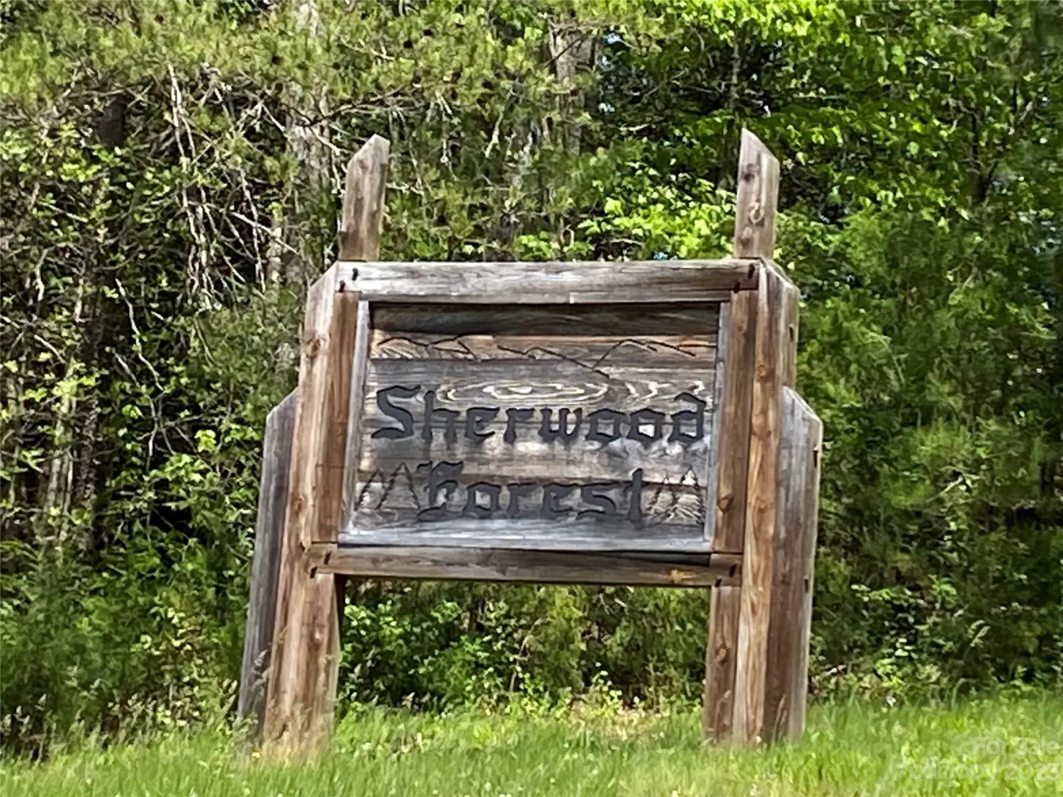
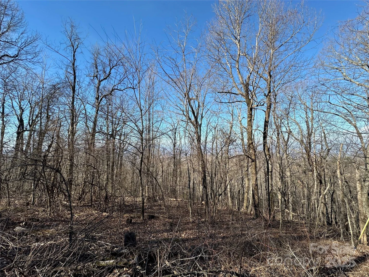
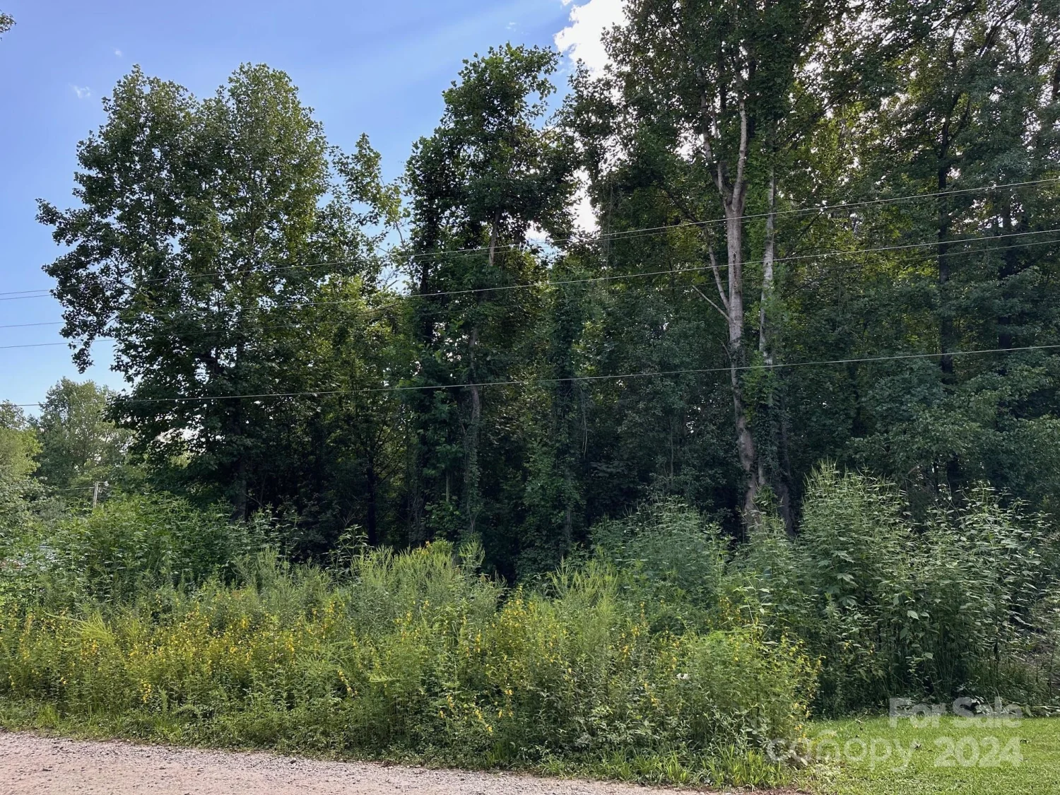
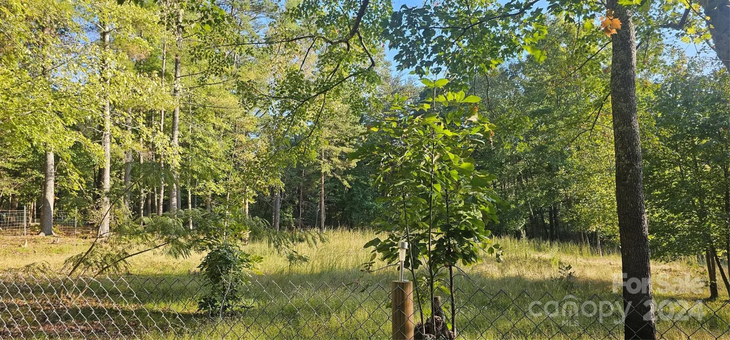
Wooded 1.48 acre property in Silver Creek Mountain. At the heart of the community, at an elevation of over 2500 feet, is the lodge, cabana and pool. Where else can you take a cool dip in a pool and have before you a view of the beautiful mountains, even viewing Mt. Mitchell, the highest peak in the eastern United States. This is truly a one-of-a-kind community. Community is pretty much across the street from NC Wildlife game lands - Build your hunting lodge! Well and septic needed. HOA includes private road maintenance. Only 20 minutes from downtown Morganton and I- 40. Located only five miles from HWY US 64. within a short driving distance from famed attractions such as Blowing Rock, Grandfather Mountain, Linville Falls and beautiful Lake James. Dues increase to $40 per month once a structure on the property. Visit https://silvercreekmountainpoa.com/ for more information on the community. Buyer is advised to confirm all information in this listing with their own independent sources.
Property Details for 2968 Laurel Ridge Lane
- Property AttachedNo
LISTING UPDATED:
- StatusClosed
- MLS #CAR4086882
- Days on Site34
- HOA Fees$30 / month
- MLS TypeLand
- Year Built
- CountryBurke
LISTING UPDATED:
- StatusClosed
- MLS #CAR4086882
- Days on Site34
- HOA Fees$30 / month
- MLS TypeLand
- Year Built
- CountryBurke
Building Information for 2968 Laurel Ridge Lane
- Year Built
- Lot Size0.0000 Acres
Payment Calculator
Term
Interest
Home Price
Down Payment
The Payment Calculator is for illustrative purposes only. Read More
Property Information for 2968 Laurel Ridge Lane
Summary
Location and General Information
- Directions: I-40 exit 103. Take Hwy 64 south approx 8 miles then left on Roper Howell Rd. 1.3 miles to left on Silver Creek Springs Rd. Gate at entrance. Once through gate, travel approximately 1.7 miles and then bear right onto Silver Creek Trail. Go .9 miles to right on Laurel Ridge Lane. This is a grass road with no road sign. Lot on right.
- Coordinates: 35.61251254,-81.76004927
School Information
- Elementary School: Unspecified
- Middle School: Unspecified
- High School: Unspecified
Taxes and HOA Information
- Parcel Number: 40309
- Tax Legal Description: 2968 Laurel Ridge Ln
Virtual Tour
Parking
- Open Parking: No
Interior and Exterior Features
Interior Features
Exterior Features
- Pool Features: None
- Road Surface Type: Gravel
- Pool Private: No
Property
Utilities
- Sewer: Septic Needed
- Water Source: Well Needed
Property and Assessments
- Home Warranty: No
Green Features
Lot Information
Rental
Rent Information
- Land Lease: No
Public Records for 2968 Laurel Ridge Lane
Home Facts
- Beds0
- Baths-
- Lot Size0.0000 Acres
- StyleAcreage
- APN40309
- CountyBurke