tbd clear creek roadBurnsville, NC 28714
tbd clear creek roadBurnsville, NC 28714
Description
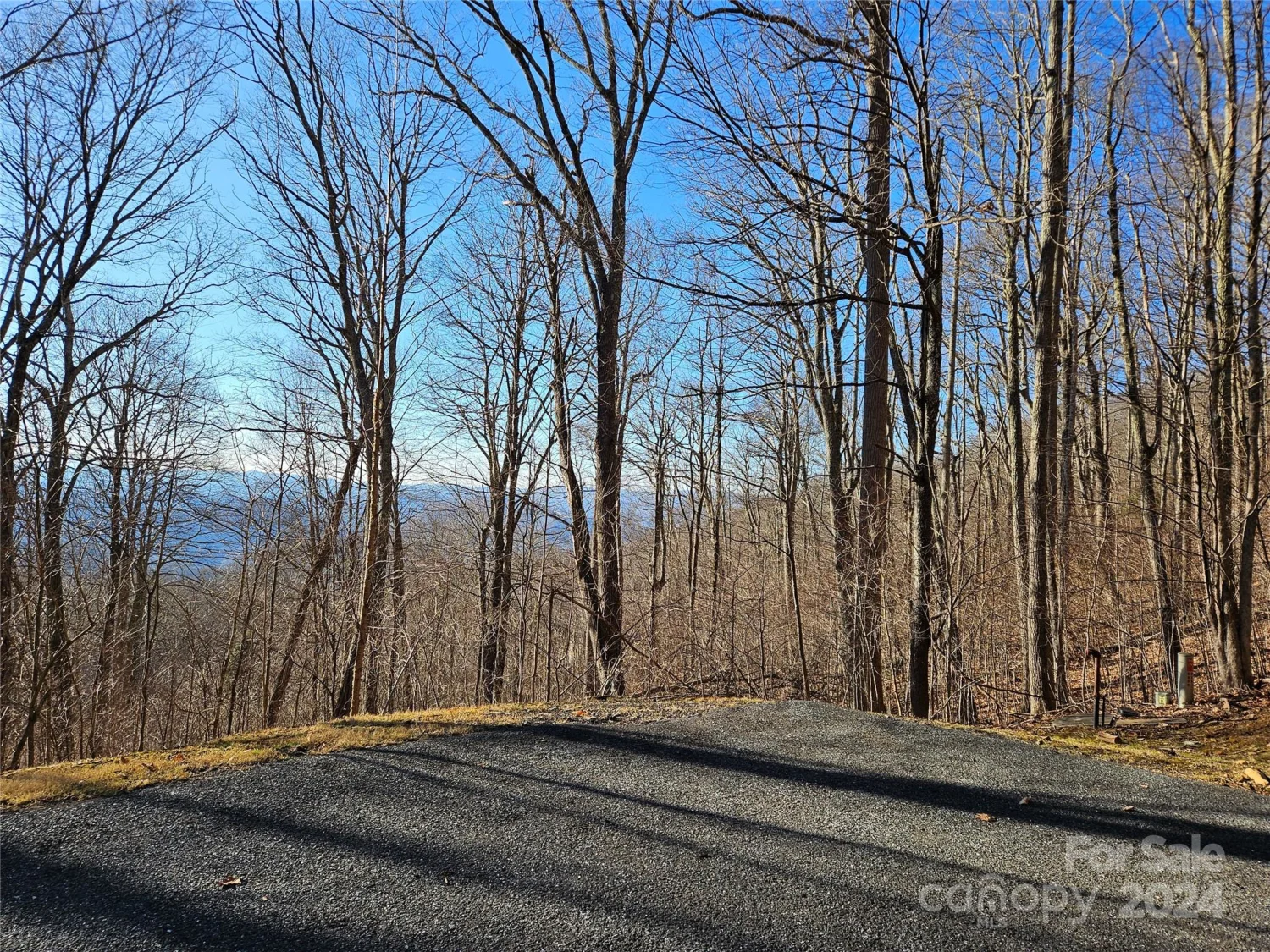
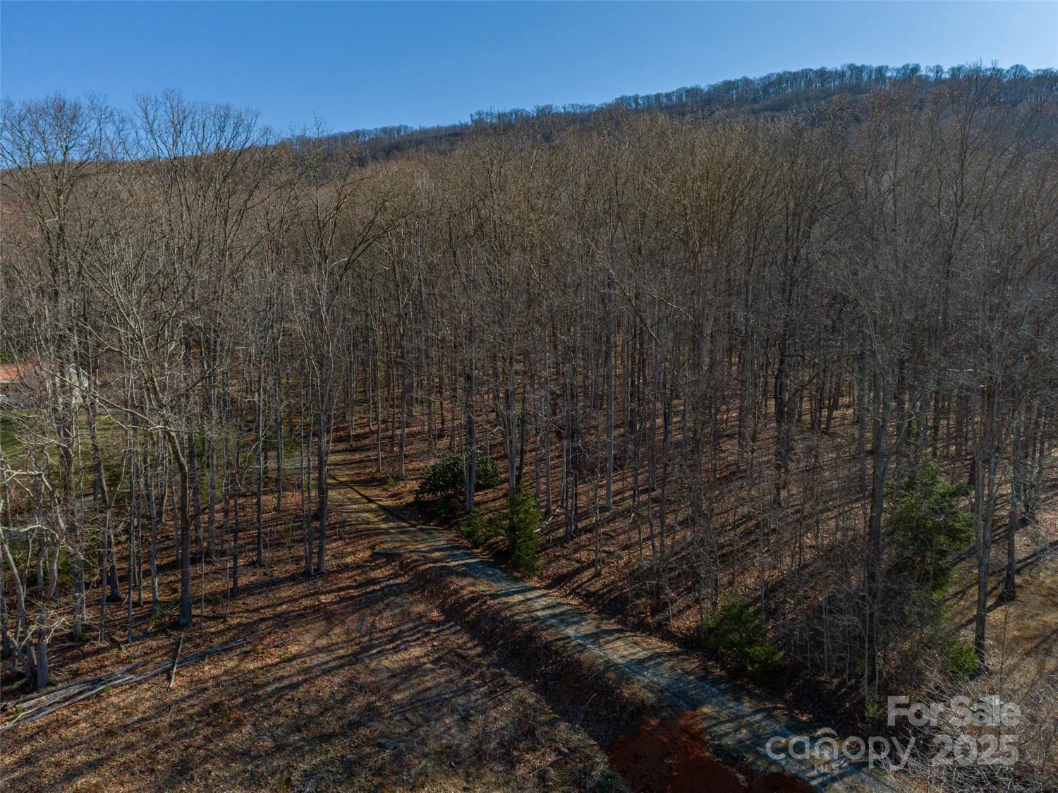
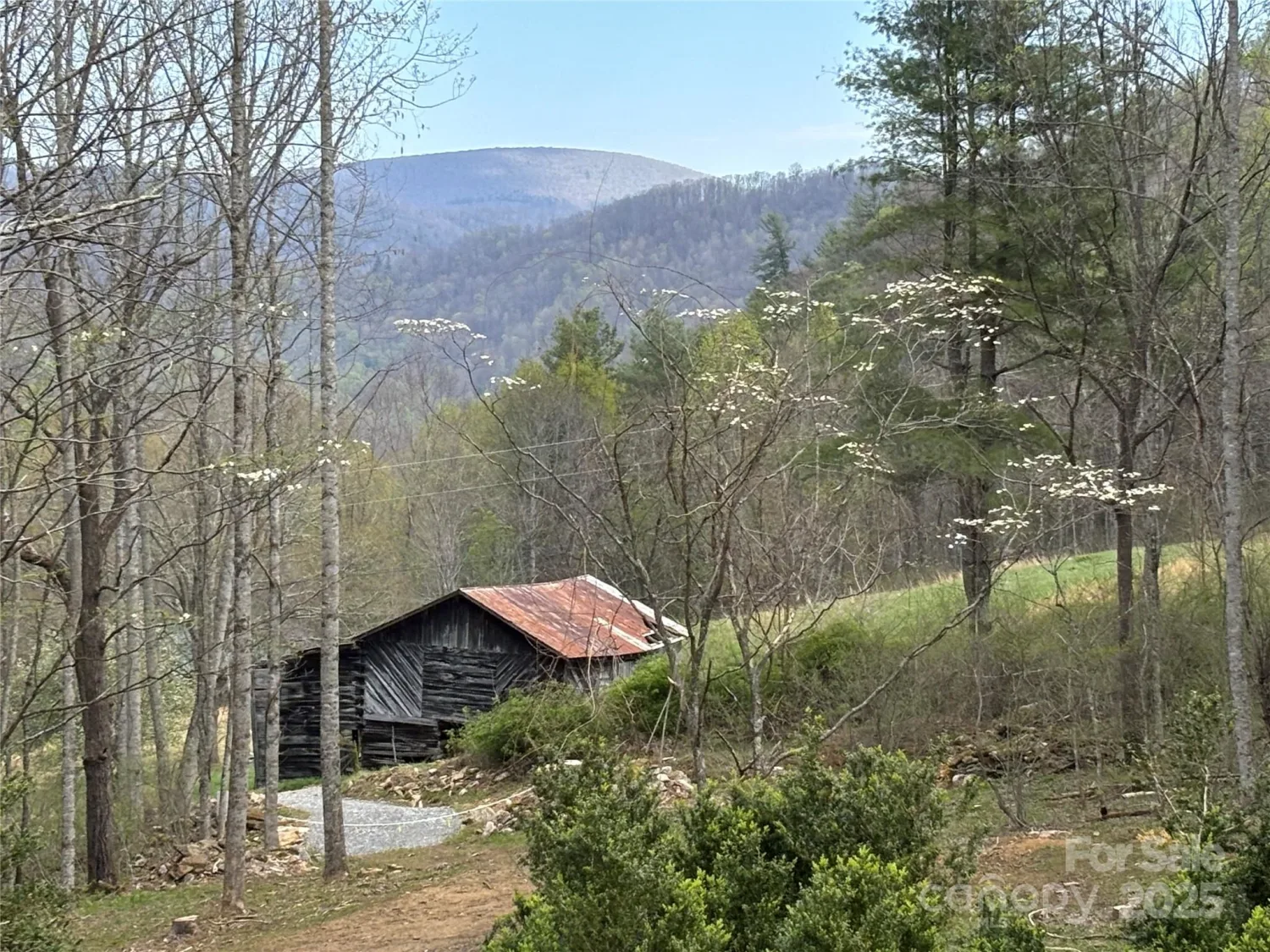
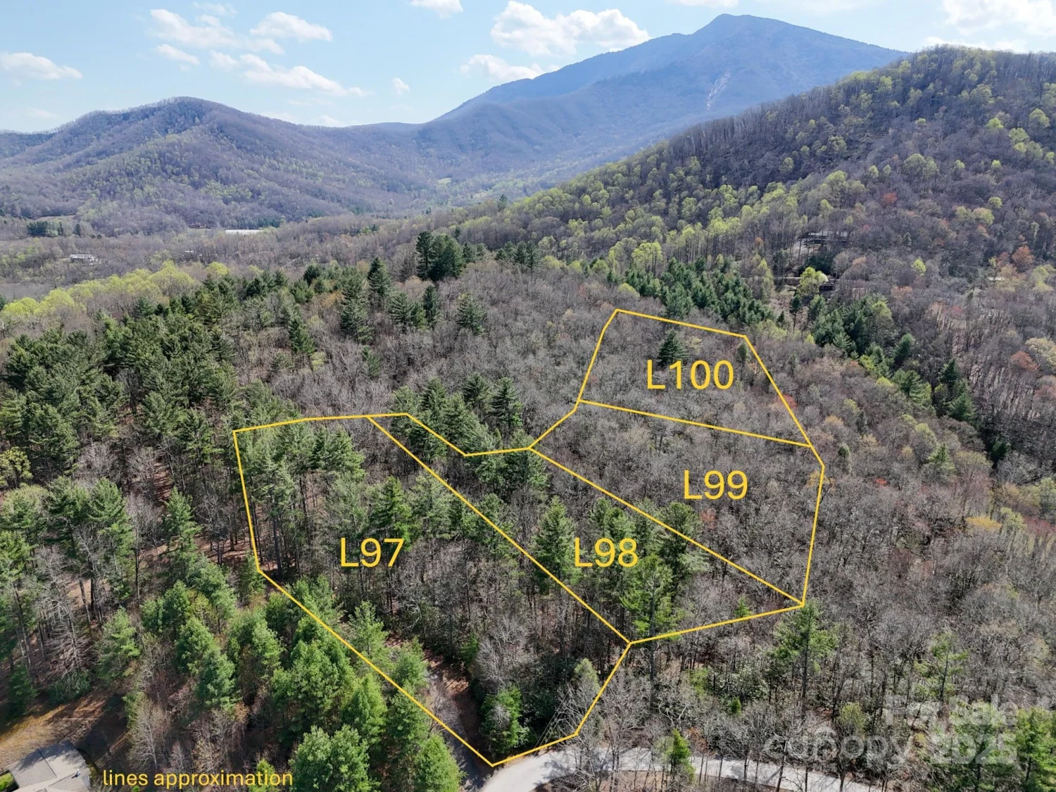
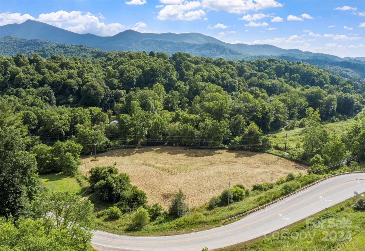
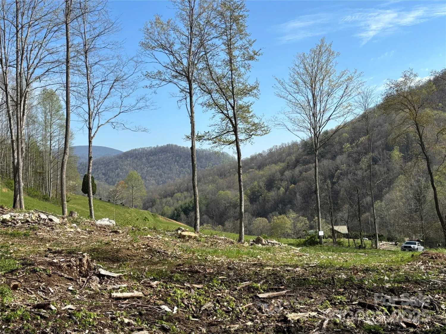
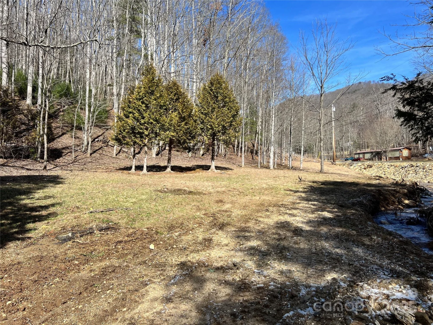
Escape to your own private sanctuary with this 3.76-acre wooded parcel. Imagine the possibilities being directly adjacent to US Forest Land, offering endless opportunities for hiking, hunting, and nature exploration right outside your property line. Rights of way are on the deed, simplifying access to this unique acreage. The land features an interesting topography, transitioning from gentle, buildable spots to more dramatic, sloping terrain, currently covered in mature woods and stunning mountain laurel. This is an ideal spot for nature lovers and outdoor enthusiasts. Celo Bald can be viewed from the property. Property is 2 miles from Carolina Hemlocks Campground, Pisgah National Forest. Approximately 30 minutes (20 miles) to nearest hospital in Spruce Pine and 25 minutes to Ingles in Burnsville.
Property Details for TBD Clear Creek Road
- Property AttachedNo
LISTING UPDATED:
- StatusActive
- MLS #CAR4251953
- Days on Site1
- MLS TypeLand
- Year Built
- CountryYancey
LISTING UPDATED:
- StatusActive
- MLS #CAR4251953
- Days on Site1
- MLS TypeLand
- Year Built
- CountryYancey
Building Information for TBD Clear Creek Road
- Year Built
- Lot Size0.0000 Acres
Payment Calculator
Term
Interest
Home Price
Down Payment
The Payment Calculator is for illustrative purposes only. Read More
Property Information for TBD Clear Creek Road
Summary
Location and General Information
- Directions: Please do not attempt to come in from NC-80 in the Marion/Old Fort area. From Asheville, take future I-26 west to exit 9, Burnsville. Bear right at bottom of ramp. Travel approximately 22 miles to Micaville Loop. Turn right on Micaville Loop. Half a mile later, turn right onto NC-80 South. Go approximately 9 miles and turn left on Clear Creek Rd. Driveway is approximately 0.7 miles on the right. Rock with 658 on it is at the corner of the driveway.
- Coordinates: 35.8004264,-82.19080472
School Information
- Elementary School: South Toe
- Middle School: Unspecified
- High School: Mountain Heritage
Taxes and HOA Information
- Parcel Number: 075600319411000
- Tax Legal Description: 3.755 acres, South Toe Township
Virtual Tour
Parking
- Open Parking: No
Interior and Exterior Features
Interior Features
Exterior Features
- Pool Features: None
- Road Surface Type: Other
- Pool Private: No
Property
Utilities
- Sewer: Septic Needed
- Water Source: Well Needed
Property and Assessments
- Home Warranty: No
Green Features
Lot Information
- Lot Features: Adjoins Forest
Rental
Rent Information
- Land Lease: No
Public Records for TBD Clear Creek Road
Home Facts
- Beds0
- Baths-
- Lot Size0.0000 Acres
- StyleLot
- APN075600319411000
- CountyYancey